


contattaci
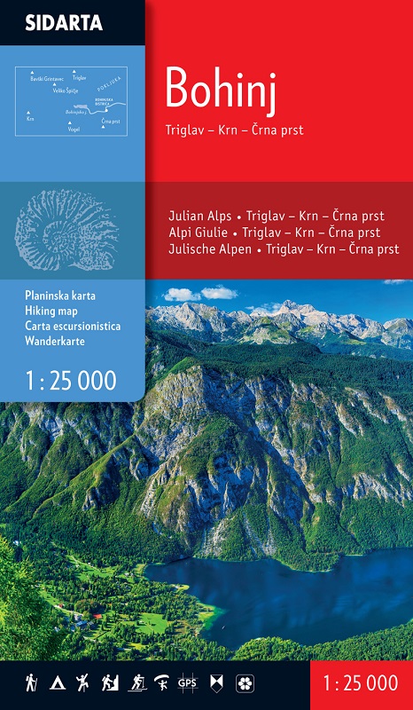

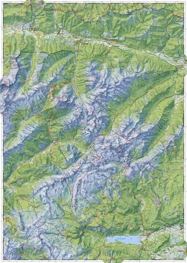
The map covers the central region of of the Julian Alps. Beside the waymarked paths, unmarked trails and ski tours the map includes also: sports climbing areas, natural and cultural points of interest and paragliding take-off sites. GPS, WGS 84.
Sul retro ampia legenda, i disegni e le schede di 23 rifugi con tutte le caratteristiche e informazioni utili, le aree di arrampicata e i maggiori "giacimenti" culturali e naturalistici