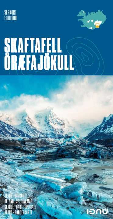
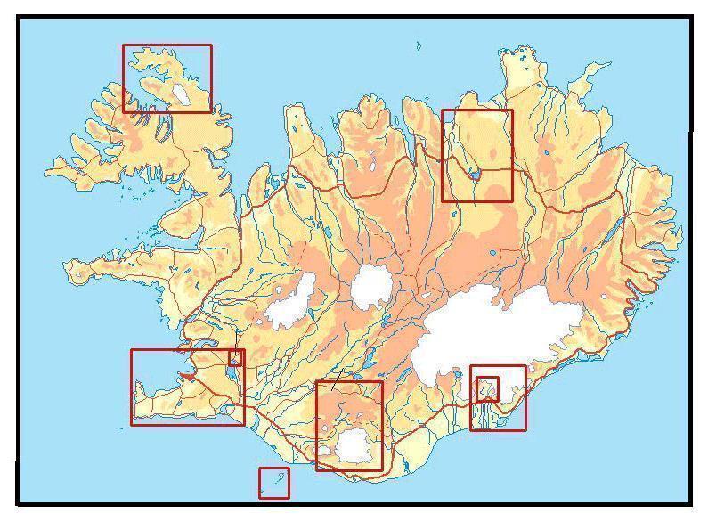
Skaftafell National Park at 1:100,000, with on the reverse an enlargement of the Skaftafell area at 1:25,000, in a series of special detailed hiking and touring maps, based on the Icelandic topographic survey, covering the most visited parts of the country. Contours at 20m intervals, with bright colouring and/or graphics show different types of vegetation and terrain, e.g. cultivated areas, bogs, meadows, heath, lichen and moss, lava, glaciers, etc. Footpaths and bridleways are marked Road network shows locations of river fords. Map ticks give latitude and longitude in steps of 4’.
On the reverse, the Skaftafell area is shown in much greater detail at 1:25,000, indicating the local campsite and guesthouse, and information centre. Latitude and longitude lines are drawn at 1’ and 2’ respectively. Map legend and additional text on the area and its hiking trails include English.
Map legend includes English.