


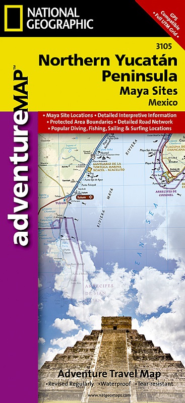
Northern Yucatan on a waterproof and tear-resistant, GPS compatible Adventure Map from the NGS, with street plans of central Cancún and Mérida, plus ground plans, photos and descriptions of its main Maya remains.
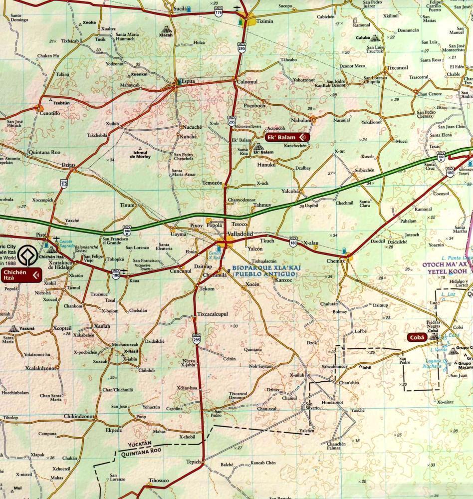
Topography is shown by contours at 25m intervals, enhanced by subtle relief shading, spot heights and graphics for marshlands to provide a very clear presentation of the terrain. Additional colouring shows forested areas. National parks and other protected areas are prominently marked.
Graded presentation of the road network distinguishes between gravel and dirt roads. Locations of fuel supplies are shown; no driving distances are indicated. Railway lines are shown and local airports and ferry routes to Cozumel are marked.
Symbols highlight various places of interest, prominently indicating the area’s many UNESCO World Heritage sites. Along the coast beaches, diving and snorkeling sites, and other sport and recreational places are also marked. The map has both a UTM grid and latitude/longitude margin ticks at intervals of 15’. A short index lists only protected areas. Map legend is in English and Spanish.
Street plans cover central areas of Cancún (1:25,000) and Mérida (1:30,000), highlighting various facilities and places of interest.
The whole of the reverse side of the map is devoted to the presentation of the region’s main Maya remains: Chichén Itzá, Cobá, Uxmal, El Rey, Ek’ Balam, Tulum, and San Gervasio. Each site is presented with a ground plan, a photograph of some of the remains and a description. Also provided are brief notes on various periods of Maya history.