


contattaci
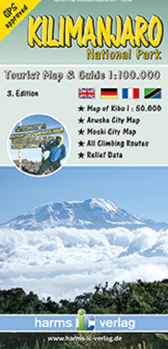
Kilimanjaro National Park in an excellent series of detailed maps from Harms Verlag, a German publisher specializing in coverage of the country. All titles are contoured, indicate various types of terrain and/or vegetation, and carry plenty of tourist information.
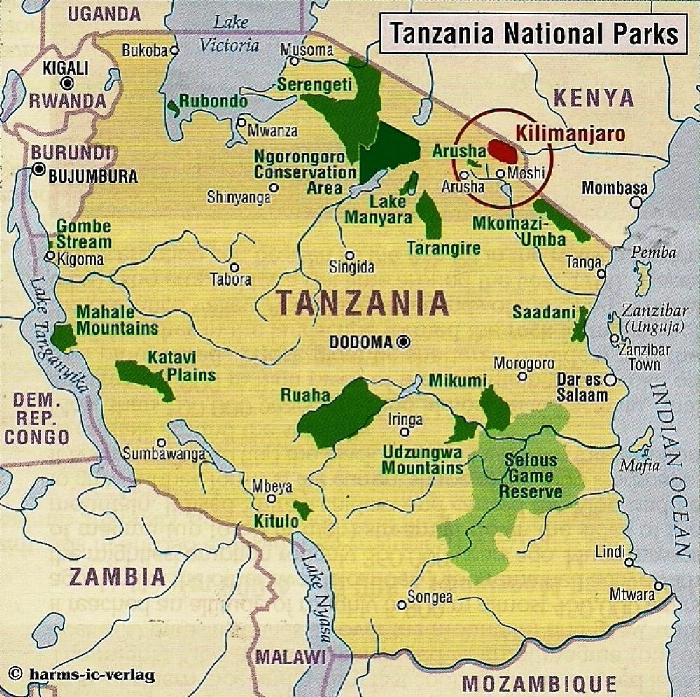
The maps provide a good supplement for their very attractive map of the whole of Tanzania.
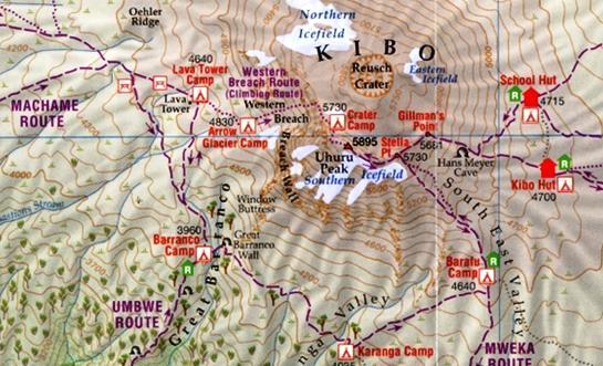
In this title: Kilimanjaro National Park and the surrounding area, extending south to Moshi and showing access to the park through all the gates, including Londorossi Gate in the west and the Nalemoru Gate in the East. The map has contours at 100m intervals and indicates various types of vegetation and terrain. The peak of Kibo is also shown as an inset at 1:50,000 with contours at 50m intervals. Ascent and decent routes are clearly marked, with huts and camp areas highlighted indicating altitude. In the surrounding area symbols highlight various types of accommodation, places of interest, medical facilities, schools, mosques and churches, and local airstrips. Also marked is the boundary of the proposed extension of the park. The map has a UTM grid and margin ticks for latitude and longitude.
The map also includes street plans of Arusha and Moshi (both annotated with accommodation, facilities and places of interest), an overview map of northern Tanzania at 1:1,400,000, a graphic table showing the climate and vegetation zones of Kilimanjaro, descriptions of various routes and numerous colour photos.
GPS approved Multilingua edition: I - D - F
Map of Kimbo 1:50.000
Moshi city map
All climbing routes
Relief Data