


New Guinea Island on a double-sided, indexed map from ITMB covering on one side Papua New Guinea at 1:2,000,000 and on the reverse the Papua Province of Indonesia with the adjoining islands of western Indonesia.
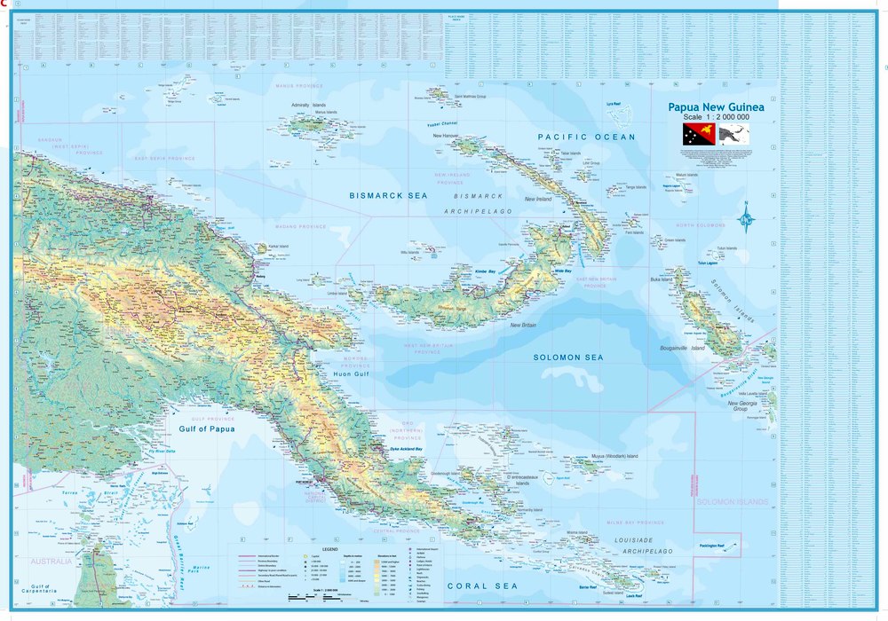
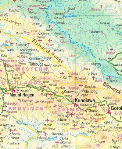
On one side is a map of Papua New Guinea at 1:2,000,000 covering the whole of the country except for the small islands east of the Bougainville Island and 186°. Topography is shown by altitude colouring with names of mountain ranges and peaks, plus graphics for swamps, mangrove and coral reefs in coastal waters. All heights are given in feet. The map shows the country’s road network and indicates airports, plus numerous local airports or landing strips. Also shown are internal administrative boundaries with names of the provinces. Symbols highlight various places of interest including beaches and scuba diving sites. Latitude and longitude lines are drawn at intervals of 1°. The index includes a separate list of islands.
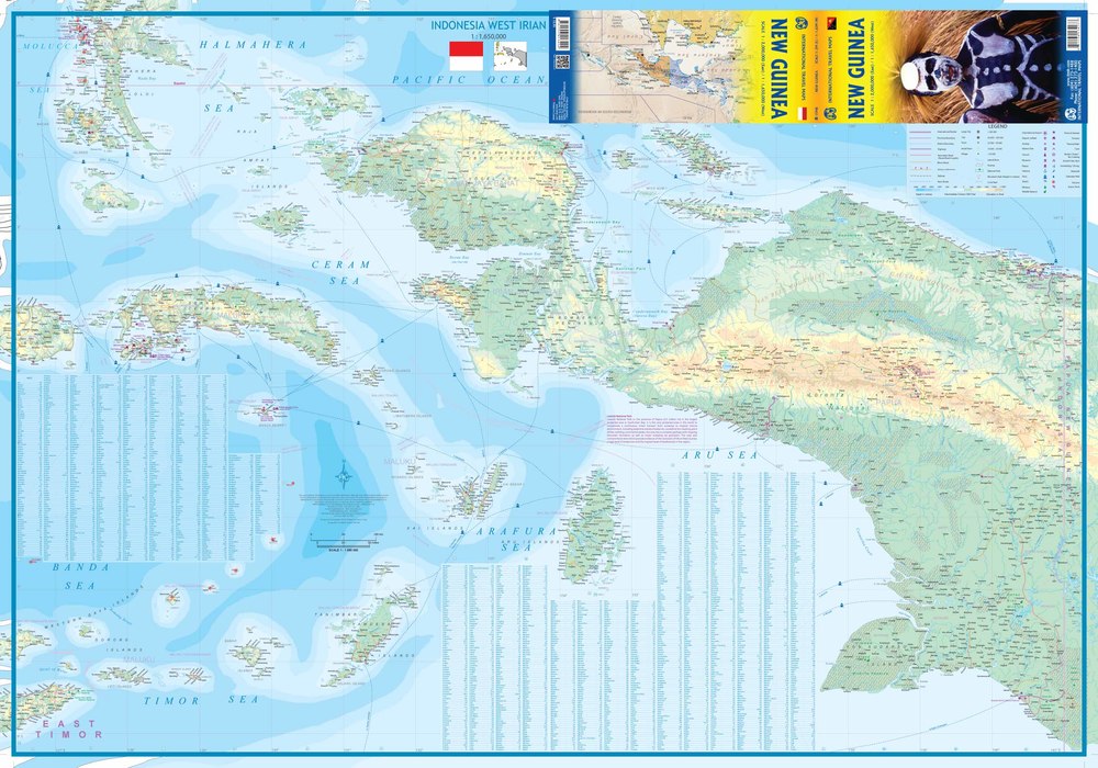
On the reverse is a map of the western half of New Guinea island, the Indonesian province of Papua, plus the nearby islands of Arafura, Timor, Ceram, Banda and Halmahera seas, including Seram/Ceram, Waigeo, Ampat Islands, Kai Islands, Aru Islands, Tanimbar Islands, etc. Presentation of the topography is as for PNG, with national parks also marked and more places of interest including temples and historical sites. Also marked are ferry routes between the islands.
