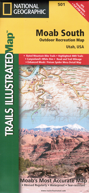
en
wishlist
login
mail

contact us

Cartography

Hiking maps, maps and atlases, cartography around the world. Maps of the trails, cartography for cyclotourism and mountain biking

Mountain

Alpine guides, hiking guides, technical manuals for summer and winter mountaineering. Mountain literature and filmography

Sea

Nautical manuals, nautical cartography, books and literature for sailboat and motor

Travels

Travel guides and travel literature for Italy, Europe and the rest of the world

Military

Collection of the best publications (books and DVDs) on the mountain war on the Alps and the rest of Italy and Europe
advanced search ricerca avanzata
back
Moab South (Utah)
National Geographic | Trails Illustrated Map | USA | impermeabile, antistrappo | 1:70.000

Moab South (Utah)

1:70.000

This Trails Illustrated topographic map is the most comprehensive and complete recreational map for the areas south of Moab, Utah. The map shows all trails, campsites, and recreational features, plus ratings and mileage for mountain biking trails and junction-to-junction road and trail mileage. Coverage area includes Moab, Dead Horse Point State Park, Behind the Rocks WSA, Hurrah Pass and Canyonland's White Rim; highlighted Jeep Safari Trails from Moab to Canyon Rims Recreation Area; and detailed 1:35,000 scale insets of Moab, Moab Rim, Poison Spider Mesa, Gold Bar Rim, and Gemini Bridges Area.
 
add to wish list
€ 15.00
quantity
- 1 +
ship to :: Italia
Corriere espresso € 5.50
availability
available
add to cart