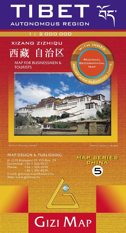
Cina 5 Tibet autonomous region
1:2.000.000
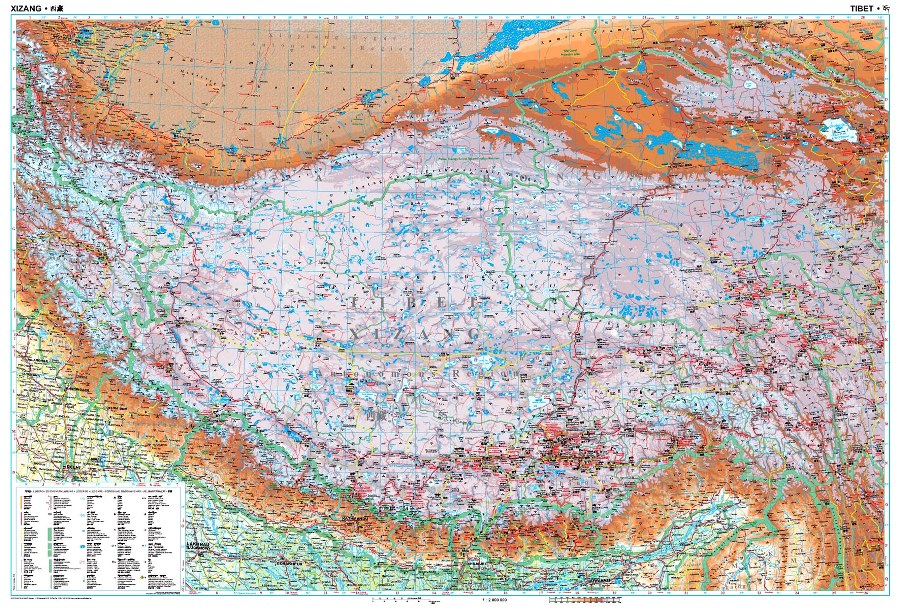
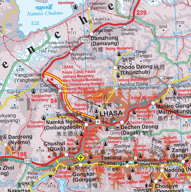
Tibet at 1:2,000,000 on an indexed map from Gizi Map presenting the region with relief shading to show its topography. Names of many settlements are shown in two or three versions: in the Latin alphabet transliteration of the Chinese and the Tibetan versions, plus for larger places also in Chinese.
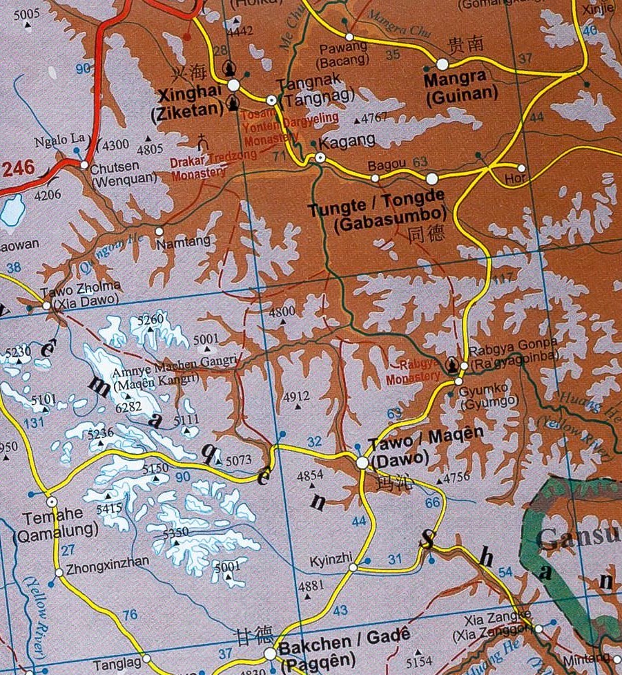
Coverage of Tibet at 1:2,000,000 is published by Gizi Map in two editions: geographical (with altitude colouring) or road (with relief shading to make road network stand out better from the background) - both version have the same information. The presentation of the topography is supplemented by graphics for deserts, swamps, salt flats, etc. plus plenty of names of mountain ranges, peaks, passes, etc. Road network is graded into seven types, including selected country tracks and shows distances on main routes. Railway lines are included, local airports are marked, and the maps also show the division of the Tibet Autonomous Region into prefectures. Symbols highlight various places of interest including UNESCO World Heritage sites, temples, natural curiosities, etc. Latitude and longitude lines are drawn at 1° intervals. The index is on the reverse and includes a separate list of places of interest. Map legend includes English, Chinese and Tibetan.
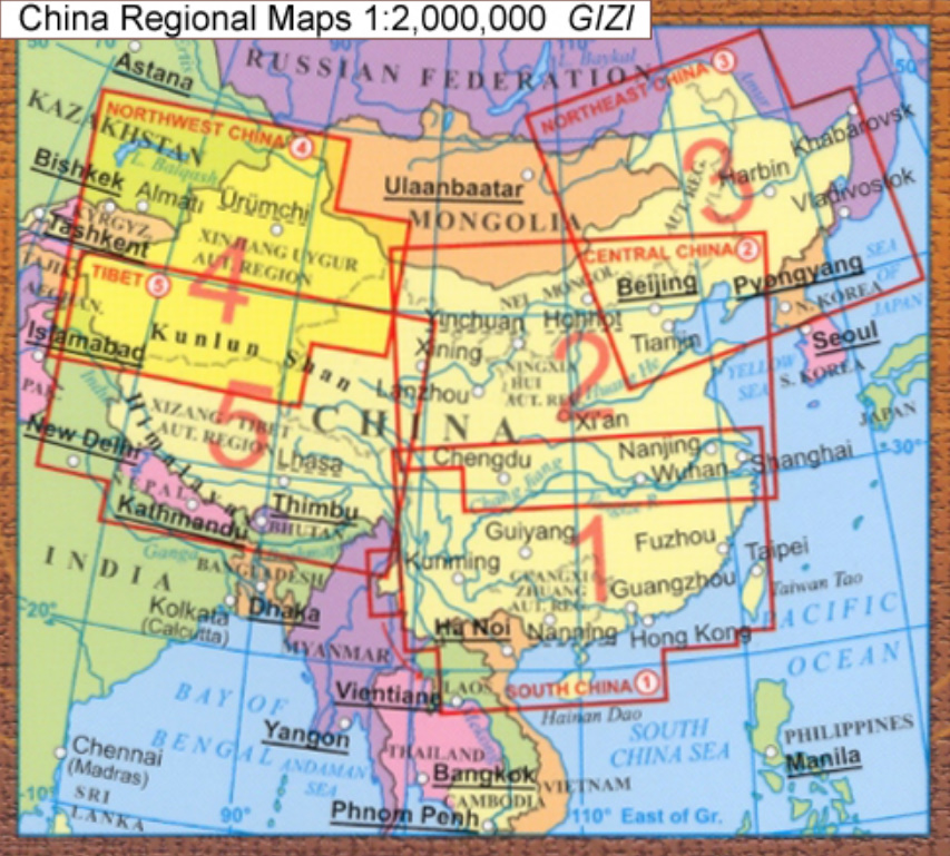
Also provided is a street plan of central Lhasa including the Norbulingka, highlighting selected hotels and various places of interest. The road edition also has an enlargement of the Mount Kailas area at 1:150,000 with the trekking circuit from Darchen. The map is part Gizi Map’s series covering China at 1:2,000,000.


