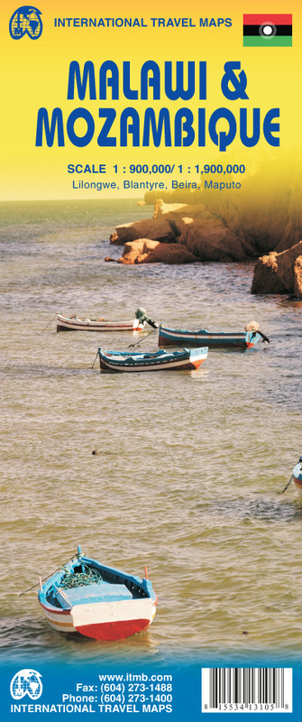
Malawi & Mozambico
1:900.000 + 1:1.900.000
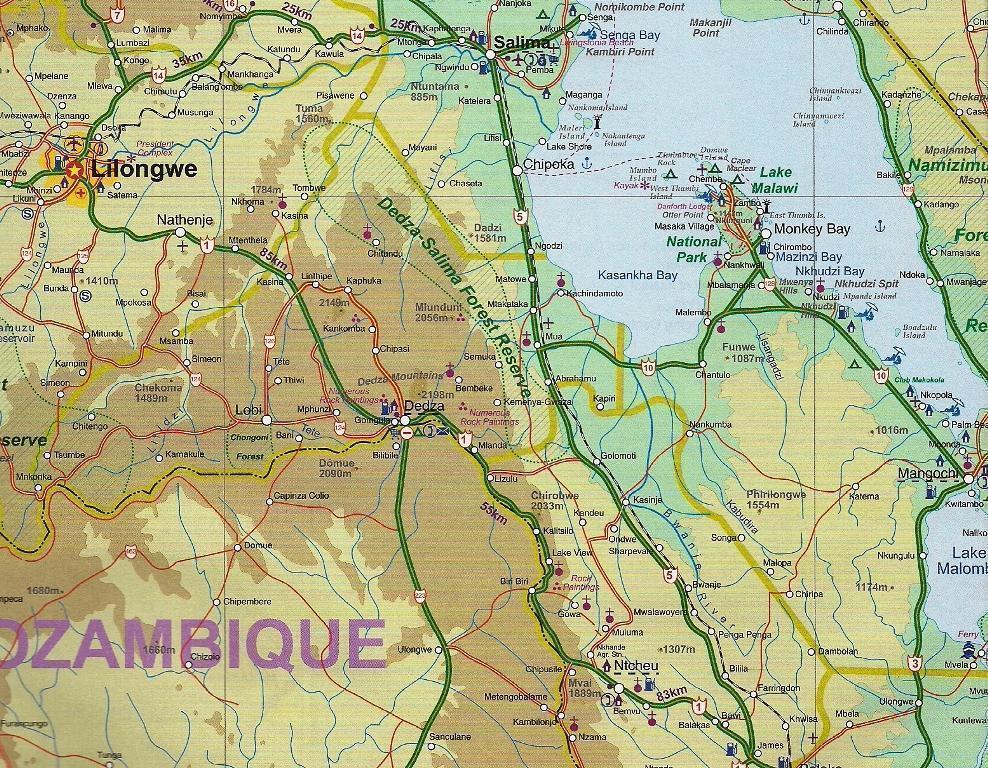
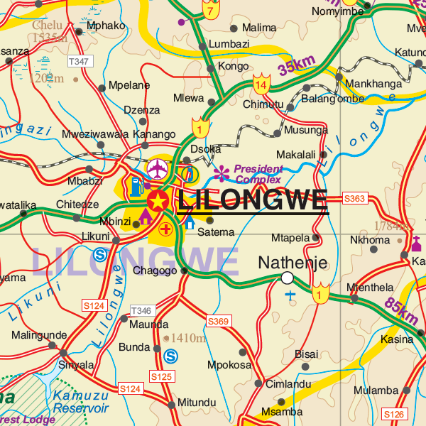
This double sided map includes insert maps of Beira, Maputo Blantyre and Lilongwe.
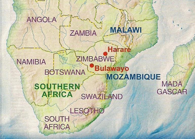
Both of these countries are unique ITMB titles. Malawi sells quite well, and always has. Mozambique is an interesting country that the map makers explored several times while living in then-Rhodesia. Its infrastructure has suffered since independence, but Beira and the parks east of Malawi are quite good. The northern part of the country is largely undeveloped, unlike Malawi, where one of the treats of the country is Livingstonia, on a plateau overlooking Lake Malawi, where David Livingstone founded his mission and built a town of Scottish stone buildings. It has to be seen to be believed!
Legend Includes: Roads by classification, airports, ferry Routes, bus stations, railway stations, parks, points of interest, view points, post offices, hospitals, border crossings, churches, mosques, museums, cinemas, accommodations, beaches, information centres, lighthouses, mining, ruins, forts, gas station,


