


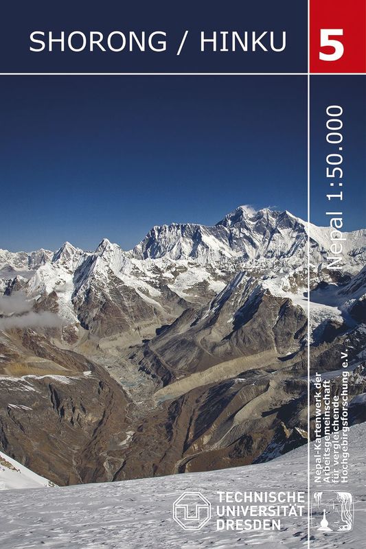
Totally revised 4th Edition, using field evidence from 2008 mapped by the Institute for Cartography of the Dresden University of Technology. Along the trekking routes the tourism infrastructure has been indicated. Maps have contours at 40-m intervals and, with bold relief shading and colouring for the glaciers, provide a vivid representation of the terrain.
