


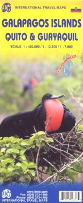
Waterproof and tear-resistant map from ITMB conveniently combining coverage of the Galapagos Islands with street plans of Ecuador’s capital and its main port for those who wish to explore the two cities on their way to or from the archipelago.
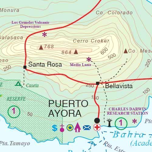
On one side is a map at 1:420,000 of the Galapagos Islands with bold altitude colouring and contours at 50m intervals providing a vivid picture of their topography. Various peaks and other topographic features are named. Numerous locations across the whole archipelago are cross-referenced to photos and brief descriptions of the islands’ 12 most interesting animals and birds. The map shows ferry connections between the islands, access by air, and locations with tourist accommodation and other facilities.
On the reverse and next to the main map are street plans of Quito and central Guayaquil. The Quito plan is orientated with the west at the top to provide a convenient coverage from the airport to the districts south of the Old City. Public transport options of El Trolle, Eco-Via and Metrobus-Q are very clearly marked, with the whole network also presented on a separate diagram. The plan also shows streets with or connected by stairways, providing a very useful indication of the city’s topography for those exploring the capital on foot. For drives main traffic arteries are highlighted, with clear presentation of access onto expressways, plus locations of petrol stations and car parks. Numerous places of interest are highlighted, included selected hotels, embassies, etc.
A similarly presented smaller plan covers the centre of Guayaquil. Only the Quito plan is indexed. Also provided is a road map of the capital’s environs, extending south beyond the Cotopaxi to Latacunga and north beyond Otavalo to Ibarra. The map shows national parks and protected areas and indicates the volcanoes including Cotopaxi, Cayambe, Sincholagua, etc.
