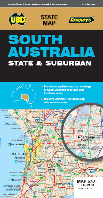
South Australia State & Suburban
1:1.900.000
This double sided South Australia State & Suburban from UBD & Gregory's contains detailed map coverage of the whole state of South Australia on one side. Also on the same side is a large inset which shows 150km around Adelaide in more detail at 1:1 000 000 and an index to towns and localities throughout the state.
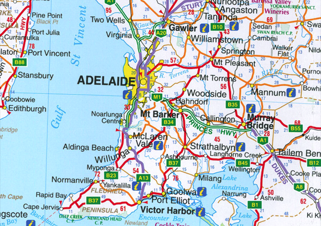
The state map features roads with intermediate distances marked in kilometres, national parks, marine parks and Aboriginal lands are also shown, as are various points of interest such as route numbers, camping grounds and caravan parks, information centres, lookouts, shipwrecks and waterfalls.
The flipside of the map has a subruban map of Adelaide which shows main roads and suburbs. The map extends from Two Wells in the north to Sellicks Beach in the south, and from the coast as far inland as Tungkillo. This side also has a suburb index.


